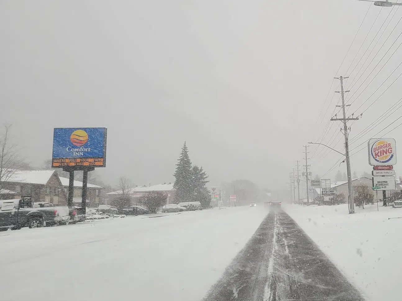
A winter storm warning has been issued by Environment Canada across the Ottawa Valley.
Significant snowfall mixed with freezing precipitation is expected.
Environment Canada says precipitation will begin as snow late this afternoon and become heavy at times tonight.
Snow is expected to change to ice pellets and freezing rain overnight before changing to rain by Monday morning.
Total snowfall amounts of 15 to 20 cm and ice build-up due to freezing rain are likely.
Surfaces such as highways, roads, walkways and parking lots may become icy and slippery.
Give yourself extra time to get where you need to go.
The high today is minus 5, but it will feel like minus 9 this afternoon with the wind chill.
Overnight, temperatures will rise to minus 1, but feel like minus 13 with the wind chill.
It will be cold Monday morning, but warming up to a high of plus 7 across the Ottawa Valley.
Winter storm warnings are issued when multiple types of severe winter weather are expected to occur together.
Winter storm warnings are issued when multiple types of severe winter weather are expected to occur together.
Winter storm warning in effect for:
- Barry’s Bay – Killaloe
- Petawawa – Pembroke – Cobden
- Renfrew – Arnprior – Calabogie
- Deep River – Whitney
- Eastern Algonquin Park – Western Algonquin Park
- Lake of Two Rivers